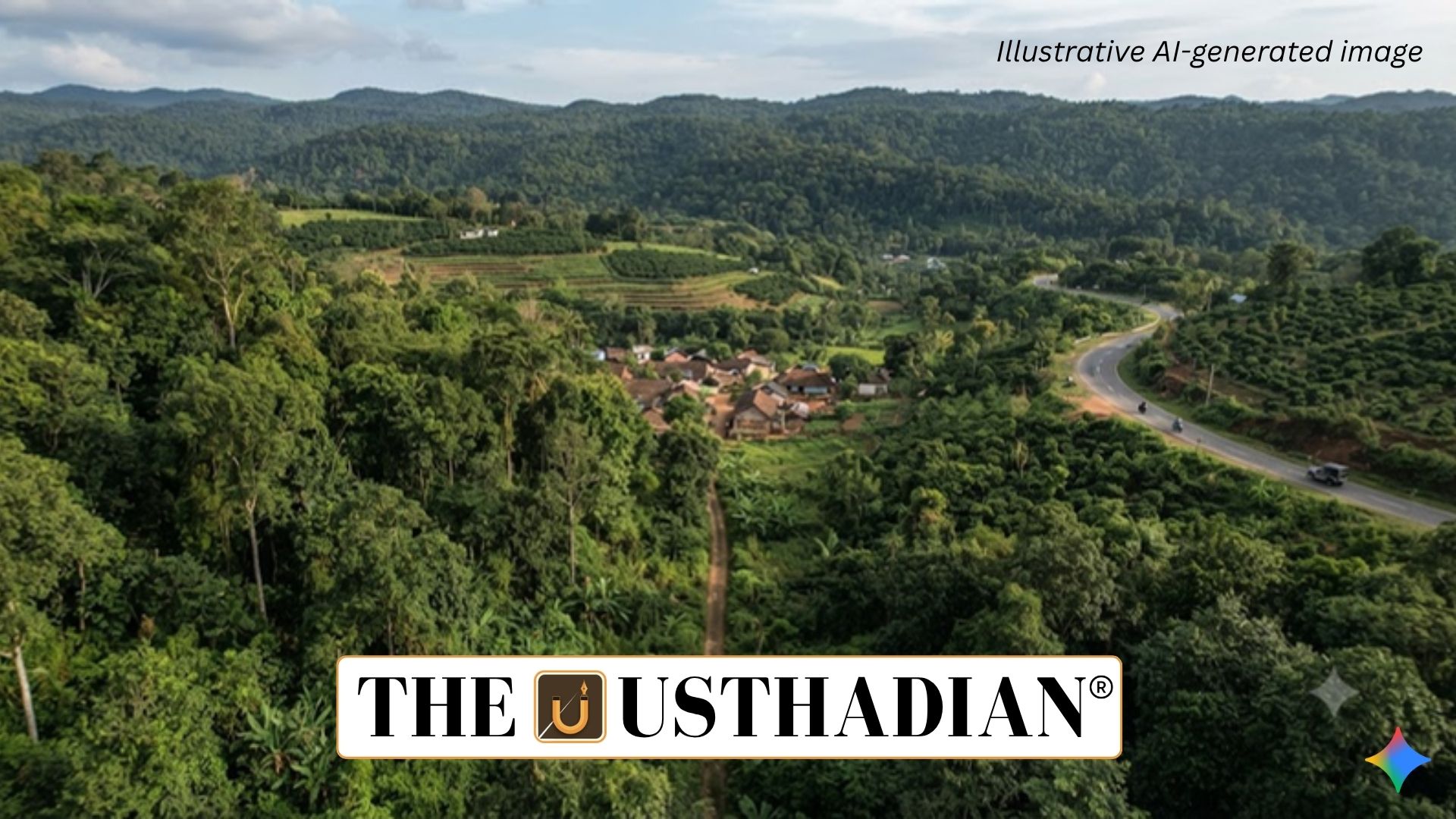
Karnataka Rejects Kasturirangan Recommendations
Karnataka Challenges Western Ghats ESA Demarcation: The Karnataka Legislature has unanimously opposed the K. Kasturirangan Committee recommendations on declaring parts of the Western Ghats as an Ecologically Sensitive Area (ESA) in their present form.
The resolution follows the seventh draft notification, issued in July 2026 by the Ministry of Environment, Forest and Climate Change. States were given 60 days to submit objections and suggestions regarding the proposed ESA boundaries.
Karnataka has rejected the proposal repeatedly since the first draft was issued in 2014. The state recognises the ecological importance of the Western Ghats but has raised concerns about the possible effects of ESA restrictions on agriculture, plantations, settlements and livelihoods.
Kasturirangan Committee and Western Ghats
The High Level Working Group (HLWG) was headed by space scientist K. Kasturirangan and was constituted in 2012 to review the recommendations of the earlier Western Ghats Ecology Expert Panel (WGEEP) chaired by Madhav Gadgil.
The Gadgil Committee submitted its report in 2011, while the Kasturirangan-led group submitted its recommendations in 2013. The Western Ghats are recognised by UNESCO as a World Heritage Site because of their exceptional biodiversity.
Static GK fact: The Western Ghats extend along India’s western side through Gujarat, Maharashtra, Goa, Karnataka, Kerala and Tamil Nadu and are one of the world’s major biodiversity hotspots.
ESA Area Under Consideration
The Western Ghats cover approximately 1.64 lakh sq. km. The Kasturirangan Committee originally recommended about 59,940 sq. km, covering 4,156 villages across six states, for ESA designation.
The committee’s approach focused on biologically rich natural landscapes, which represented around 41% of the Western Ghats, with approximately 37% identified as relatively less fragmented and ecologically significant.
The area proposed in the latest process has reduced to around 56,825 sq. km. Kerala’s physical verification reduced its proposed ESA area to 9,993 sq. km, while changes have also occurred in village coverage across Maharashtra, Goa and Karnataka.
Restrictions Proposed Under ESA
The recommendations distinguish between activities that would be prohibited and those that could continue subject to regulation.
Mining, quarrying and sand extraction, red-category industries, thermal power projects and certain large construction activities would face prohibition. Township and area-development projects are also proposed to be restricted.
Infrastructure and development projects may continue subject to environmental clearance. Hydroelectric projects could also be permitted under specified conditions, while projects within 10 km of the ESA may require scrutiny under the EIA Notification, 2006.
The framework also proposes Green Growth incentives and a decision-support and monitoring mechanism for the Western Ghats.
Karnataka’s Major Objections
Karnataka has argued that ESA boundaries should primarily cover forest areas, rather than plantations, agricultural and horticultural land or residential and public areas.
The state has also questioned the reliance on satellite-based mapping without a comprehensive joint physical survey. It has highlighted difficulties in distinguishing revenue land from forest land and raised concerns about Bagair Hukum claims, forest rights, deemed forests, land grants and pending legal cases.
Another objection concerns village-level demarcation. Karnataka has opposed including an entire village merely because a portion of its area meets the proposed forest-related criterion.
Karnataka Seeks Ground Verification
The state has sought approximately one year to conduct a detailed physical survey before its ESA boundaries are finalised.
The Karnataka Legislature has also proposed a high-level committee headed by a retired judge, with stakeholder participation, to examine the recommendations and suggest modifications.
Static GK Tip: The Gadgil approach was broader and more stringent, while the Kasturirangan approach used a more focused natural-landscape methodology. The continuing debate reflects the challenge of balancing biodiversity conservation with local development and livelihood concerns.
Static Usthadian Current Affairs Table
Karnataka Challenges Western Ghats ESA Demarcation:
| Fact | Detail |
| Main Issue | Western Ghats Ecologically Sensitive Area |
| Kasturirangan Committee | High Level Working Group constituted in 2012 |
| Kasturirangan Report | Submitted in 2013 |
| Gadgil Committee | WGEEP report submitted in 2011 |
| Original ESA Proposal | About 59,940 sq. km |
| Latest Proposed Area | About 56,825 sq. km |
| Western Ghats States | Gujarat, Maharashtra, Goa, Karnataka, Kerala and Tamil Nadu |
| Karnataka Demand | Physical survey before final demarcation |
| Major Concerns | Land classification, livelihoods and satellite-based mapping |
| Key Environmental Law | Environment (Protection) Act, 1986 |