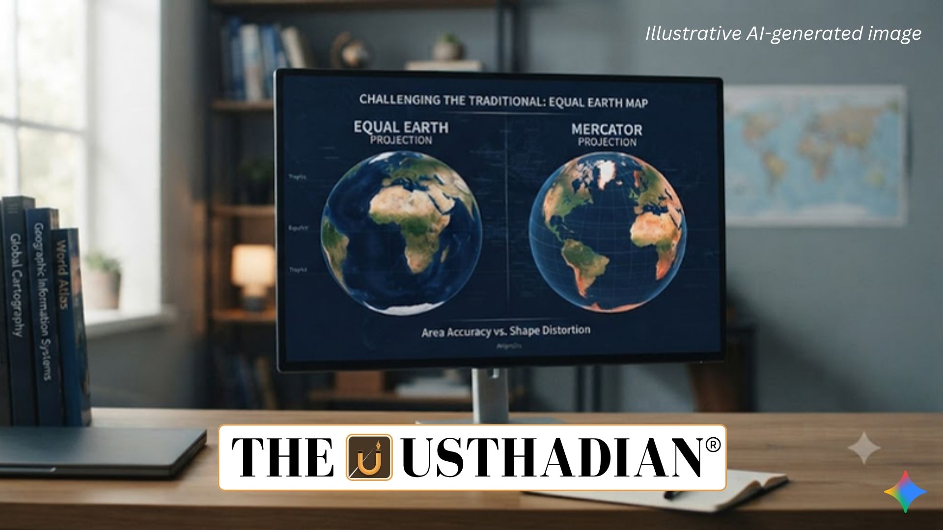
UN Supports a Shift Towards Equal Earth
Equal Earth Map Challenges the Traditional Mercator Projection: The United Nations General Assembly has adopted a resolution supporting greater use of the Equal Earth projection instead of relying heavily on the centuries-old Mercator projection. The Togo-led resolution received support from 164 countries, including India, while the United States voted against it and six countries abstained.
The resolution is not legally binding, meaning its practical impact will depend on whether governments, educational institutions, organisations and mapmakers choose to adopt the Equal Earth projection.
India supported the resolution while maintaining its stated position regarding the depiction of Jammu and Kashmir and Ladakh.
Why Is Every Flat Map Distorted?
The Earth is not a perfectly spherical object. Because of its rotation and other physical factors, its shape is more accurately represented as an oblate spheroid rather than a perfect sphere.
A globe provides the most realistic three-dimensional representation of Earth. However, globes are inconvenient for many purposes, so cartographers convert the Earth’s surface into two-dimensional maps using map projections.
A map projection transforms Earth’s three-dimensional surface onto a flat plane. During this process, some form of distortion is unavoidable.
The four major properties that can be distorted are:
- Area – relative size of landmasses
- Shape – actual form and outline
- Distance – separation between locations
- Direction – compass relationships
Static GK fact: No single flat map projection can preserve area, shape, distance and direction simultaneously across the entire world.
Major Types of Map Projections
Map projections are generally classified according to the geographical property they preserve.
Conformal projections preserve local angles and shapes. The Mercator projection is a prominent example.
Equal-area projections maintain the correct relative areas of geographical regions. Equal Earth belongs to this category.
Equidistant projections attempt to preserve accurate distances from particular points or along specific lines.
Compromise projections distribute distortion among several properties rather than preserving one property perfectly. The Robinson and Winkel Tripel projections are examples.
The appropriate projection therefore depends on the intended purpose of a map.
Origins of the Mercator Projection
The Mercator projection was introduced in 1569 by Gerardus Mercator, a Flemish cartographer and geographer from the region of present-day Belgium.
It is a cylindrical conformal projection, conceptually produced by projecting the Earth’s surface onto a cylinder.
Its major advantage was navigation. On a Mercator map, rhumb lines, representing routes of constant compass bearing, appear as straight lines. This allowed navigators to maintain a consistent compass direction when plotting journeys.
By the 18th century, the projection had become widely used for navigation. Its straight parallels and meridians also made it relatively convenient for map construction.
Static GK Tip: A rhumb line is a path that crosses all meridians at the same angle and therefore maintains a constant compass bearing.
The Mercator Projection and Size Distortion
The principal weakness of the Mercator projection is its increasing distortion towards the poles.
To preserve local shapes and angles, the map progressively stretches geographical features at higher latitudes. Consequently, countries and continents located far from the equator can appear substantially larger than their actual areas.
Africa provides one of the clearest examples. On many Mercator maps, Africa and Greenland may appear relatively comparable in size, despite their enormous difference in actual area. Greenland is roughly 14 times smaller than Africa.
Similarly, Antarctica appears considerably larger than its actual area.
Debate Over the Colonial Legacy
Critics of the Mercator projection have argued that its widespread use can reinforce a Eurocentric or Western-centric visual understanding of the world.
Because European regions are positioned at relatively high northern latitudes, their apparent size becomes exaggerated compared with equatorial and tropical regions. Critics argue that this visual effect has contributed to distorted perceptions of the relative importance and size of different regions.
However, the Mercator projection was originally developed primarily for navigation, rather than as a tool for political representation. Its continued relevance for navigation demonstrates why projections should be selected according to their purpose.
Major Alternatives to Mercator
Cartographers have developed several alternatives to overcome particular weaknesses of the Mercator projection.
Gall-Peters Projection
The Gall-Peters projection was first presented by Scottish clergyman James Gall in 1855 and later popularised by German historian Arno Peters in 1973.
It preserves relative land areas accurately but significantly distorts the shape of continents, making them appear elongated or compressed.
Robinson Projection
The Robinson projection, developed in 1963 by geographer Arthur H. Robinson, was designed as a compromise between area and shape.
It reduces some of the extreme visual distortions associated with other projections and became widely used for general-purpose world maps.
Winkel Tripel Projection
The Winkel Tripel projection was created in 1921 by German cartographer Oswald Winkel. It attempts to reduce overall distortion in area, distance and direction.
The National Geographic Society adopted it in 1998, after which it became widely used in educational and reference maps.
What Is the Equal Earth Projection?
The Equal Earth projection was developed in 2018 by an international team of cartographers. It is an equal-area projection, meaning that the relative sizes of landmasses are represented more accurately.
Its curved meridians help create a visually balanced world map while accepting some distortion in shape and distance.
Equal Earth is particularly useful for thematic and statistical maps, including maps showing population distribution, climate impacts, natural resources and land use.
Static GK fact: The defining feature of an equal-area projection is preservation of the correct relative area of geographical regions.
Which Projection Should Be Used?
Different applications require different projections.
| Purpose | Suitable Projection |
| Navigation and constant compass direction | Mercator / conformal projections |
| Population and resource mapping | Equal-area projections such as Equal Earth |
| General world reference | Robinson or Winkel Tripel |
| Polar and central-point studies | Azimuthal projections |
Therefore, replacing one projection with another does not mean that the older projection becomes completely useless.
Why Equal Earth Matters
The Equal Earth projection provides a mathematically appropriate representation of relative land area, making it particularly valuable for educational and statistical purposes.
Its adoption can also encourage viewers to reconsider long-standing visual impressions about the relative size of continents, especially the apparent enlargement of Europe and North America and the reduction of equatorial regions on Mercator maps.
The broader debate demonstrates that maps are not merely visual objects; the choice of projection influences how geographical information is perceived.
Conclusion
The UN-backed move towards greater use of the Equal Earth projection represents both a cartographic and symbolic shift. While Equal Earth offers a more accurate representation of relative land area, the Mercator projection remains highly useful for navigation because of its preservation of angles and constant-bearing routes.
The central lesson is that no single map projection is perfect. The best projection depends on whether the objective is navigation, statistical comparison, general reference or specialised geographical analysis.
Static Usthadian Current Affairs Table
Equal Earth Map Challenges the Traditional Mercator Projection:
| Fact | Detail |
| New projection highlighted | Equal Earth projection |
| Projection type | Equal-area |
| Developed | 2018 |
| Main advantage | Preserves relative land areas |
| Mercator projection | Conformal cylindrical projection |
| Mercator introduced | 1569 |
| Creator | Gerardus Mercator |
| Major Mercator strength | Navigation and constant compass bearings |
| Major Mercator limitation | Increasing size distortion towards the poles |
| Famous distortion example | Greenland appears much larger than its actual relative area |
| Gall-Peters | Equal-area projection; introduced by James Gall in 1855 |
| Robinson projection | Compromise projection developed in 1963 |
| Winkel Tripel | Compromise projection created in 1921 |
| National Geographic adoption | Winkel Tripel adopted in 1998 |
| Key Equal Earth uses | Thematic and statistical mapping |
| Major properties affected by projection | Area, shape, distance and direction |
| UN resolution support | 164 countries |
| India | Supported the resolution |
| United States | Voted against |
| Legal status | UN resolution is non-binding |
| Key geographical lesson | Every flat projection involves some form of distortion |