Himalaya Diwas and Its Significance
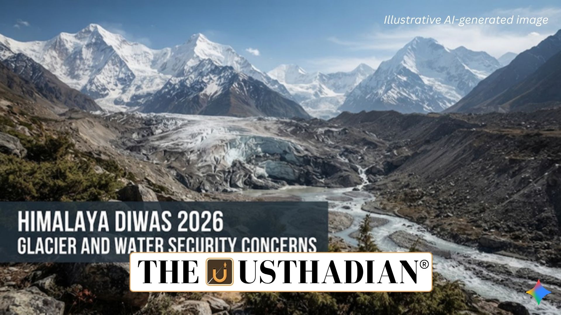
Himalaya Diwas 2026 Highlights Glacier and Water Security Concerns: Himalaya Diwas is observed every year on September 9 to underline the ecological, cultural and economic importance of the Himalayan region. The observance was initiated in Uttarakhand in 2015 with an emphasis on Himalayan conservation, sustainable development and community participation.
The 2026 observance assumes greater importance amid evidence of continuing glacier loss and declining seasonal snow cover across the Hindu Kush Himalaya (HKH). The region acts as a major natural water reserve for several Asian river systems, including the Indus, Ganga and Brahmaputra, making Himalayan environmental changes directly relevant to India’s water security.
Static GK fact: The Hindu Kush Himalaya extends across several countries of Asia and contains extensive glaciers, snowfields and high-altitude ecosystems.
Glacier Retreat Accelerates Across the HKH
According to the 2026 ICIMOD assessment, glaciers across the Hindu Kush Himalaya lost around 12% of their glacier coverage and approximately 9% of their estimated ice mass between 1990 and 2020.
The pace of ice loss has increased significantly since 2000. Some glaciers have experienced ice losses equivalent to as much as 27 metres since 1975. Smaller glaciers are particularly vulnerable, with those covering less than 0.5 sq km experiencing faster deterioration. Nearly three-fourths of glaciers in the region fall within this size category.
Static GK Tip: ICIMOD stands for the International Centre for Integrated Mountain Development, an intergovernmental organisation working on sustainable mountain development in the Hindu Kush Himalaya region.
Declining Snow Cover Adds to Water Risks
Glaciers are only one component of Himalayan water storage. Seasonal snow also stores water and gradually releases it through melting.
The ICIMOD Snow Update 2026 recorded 27.8% lower snow persistence than the long-term average across the Hindu Kush Himalaya. This represented the fourth consecutive year of below-normal snow persistence.
Among the region’s major river basins, 10 out of 12 recorded below-normal snow persistence. Reduced snow storage can therefore influence the timing and availability of water downstream.
Glacier Retreat Does Not Mean Rivers Will Immediately Dry
Glacier retreat should not be interpreted as an immediate disappearance of Himalayan rivers. River systems receive water from multiple sources, including rainfall, seasonal snow, glaciers and groundwater.
The major concern is the gradual loss of glaciers as long-term natural reservoirs. Government estimates put the average retreat rate of Himalayan glaciers at around 14.9 ± 15.1 metres per year.
The reported average retreat rates vary among river basins:
- Indus Basin: 12.7 metres per year
- Ganga Basin: 15.5 metres per year
- Brahmaputra Basin: 20.2 metres per year
Static GK fact: The Brahmaputra is known as the Yarlung Tsangpo in Tibet before entering India through Arunachal Pradesh.
Implications for Agriculture, Cities and Hydropower
Changes in Himalayan snow and ice can affect irrigation, river discharge, hydropower generation and mountain ecosystems. Farmers dependent on predictable water availability may face increasing uncertainty over irrigation supplies.
The Indus Basin has a comparatively greater dependence on snow and glacier melt, while the Ganga and Brahmaputra basins receive a larger contribution from monsoon rainfall. For cities and industries, an important challenge will be predicting the timing and quantity of water reaching rivers and reservoirs.
Glacier Retreat Can Increase Flood Hazards
Melting glaciers can also contribute to another climate-related danger: Glacial Lake Outburst Floods (GLOFs).
As glaciers retreat, meltwater can accumulate in lakes held back by unstable natural dams. A sudden failure of such a dam can release a large volume of water downstream, potentially threatening settlements, infrastructure and ecosystems.
India has consequently strengthened glacial lake monitoring and early-warning systems in vulnerable Himalayan areas.
Static GK Tip: A GLOF is a sudden release of water from a glacial lake that can generate destructive downstream flooding.
India’s Himalayan Conservation Priorities
India needs a combination of climate mitigation and adaptation measures to address growing risks. Priority areas include glacier and snow monitoring, surveillance of high-risk glacial lakes, stronger early-warning systems and improved disaster preparedness.
Water-use efficiency, groundwater conservation and climate-resilient agriculture are also important. Protecting forests, wetlands and springs can strengthen local water security and ecosystem resilience.
Since Himalayan rivers cross national boundaries, greater regional cooperation among Himalayan countries is necessary. Sharing scientific information, coordinating flood warnings and improving disaster-response mechanisms can help countries manage common risks more effectively.
Conclusion
Himalaya Diwas 2026 highlights a broader water-security challenge rather than merely a glacier conservation issue. Declining glacier mass and persistent reductions in seasonal snow can alter long-term water storage and increase uncertainty for agriculture, cities and energy systems.
Protecting the Himalayan ecosystem therefore requires continuous scientific observation, community participation, climate adaptation and cooperation among countries sharing the region’s major river systems.
Static Usthadian Current Affairs Table
Himalaya Diwas 2026 Highlights Glacier and Water Security Concerns:
| Fact | Detail |
| Himalaya Diwas | Observed annually on September 9 |
| First declared | Uttarakhand, 2015 |
| Major region | Hindu Kush Himalaya (HKH) |
| Glacier coverage loss | About 12% between 1990 and 2020 |
| Ice mass loss | About 9% between 1990 and 2020 |
| Snow persistence | 27.8% below average in 2026 |
| Consecutive low-snow years | Fourth consecutive year |
| Basins with below-normal snow | 10 of 12 major basins |
| Average Himalayan glacier retreat | 14.9 ± 15.1 metres per year |
| Indus Basin retreat | 12.7 metres per year |
| Ganga Basin retreat | 15.5 metres per year |
| Brahmaputra Basin retreat | 20.2 metres per year |
| Major risks | Water insecurity, GLOFs, irrigation stress and ecosystem disruption |
| Key organisation | ICIMOD |
| Major river systems | Indus, Ganga and Brahmaputra |
| Key adaptation measures | Glacier monitoring, GLOF warnings, water conservation and climate-resilient agriculture |