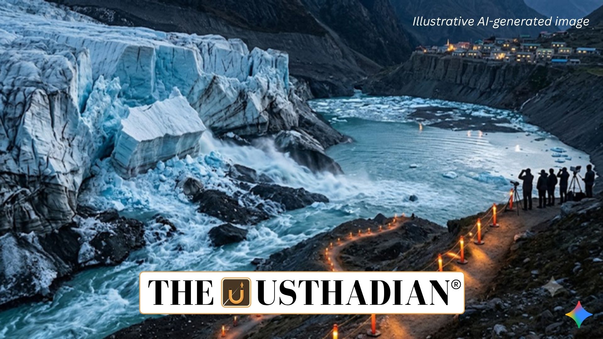
Glacier Collapse Triggers a Massive Flood Wave
Himalayan Glacier Collapse Intensifies Flood Risk in Nepal: A major glacier and rock collapse near the Tibet-Nepal border triggered a destructive debris flood in central Nepal. The event sent a rapidly moving mixture of water, ice, mud and rocks through steep Himalayan valleys.
Initial reports linked the disaster to a 4.4-magnitude earthquake, but subsequent geological and satellite assessments pointed to a large-scale collapse of glacial ice and bedrock at high altitude as the immediate cause.
Ice and Rock Break Away
According to US Geological Survey (USGS) data cited in reports, approximately 0.2 square kilometres of glacial ice and bedrock broke away at an elevation of around 5,200 metres.
Satellite observations indicated that the terminus of a glacier near Langtang Lirung became detached and fell into a valley roughly 1.2 kilometres lower. The falling mass carried rocks and other debris with it, dramatically altering the downstream flow.
Static GK fact: Langtang Lirung is a prominent mountain in Nepal’s Langtang region, part of the Himalayan mountain system.
Why the Flood Became So Destructive
The combination of extreme altitude and steep Himalayan terrain made the event particularly dangerous. A large mass falling from a high elevation releases substantial gravitational energy, accelerating ice, rock and sediment downslope.
The debris could temporarily obstruct a river channel and create a barrier lake. If such an unstable natural barrier fails, stored water can be released suddenly along with accumulated sediment and rocks, producing a powerful debris-laden flood.
Earthquake Was Not the Sole Explanation
Although seismic activity was initially considered a possible trigger, later evidence highlighted the importance of the ice-rock collapse itself. The mass movement generated seismic signals equivalent to a larger earthquake, illustrating how landslides and glacier collapses can themselves produce measurable ground vibrations.
The event demonstrates that mountain disasters can involve several interacting factors, including unstable rock, weakened glacier structures, meltwater and seismic activity.
Narrow Valleys Accelerate Flood Damage
The Himalayan topography played a major role in determining the speed and destructive potential of the flood. Instead of spreading across a broad plain, water and debris were channelled through narrow mountain valleys, increasing flow velocity.
Communities and infrastructure located close to river channels therefore had limited time to respond. Border infrastructure, including the Gyirong Port area, was also reported to have suffered damage.
Climate Change Raises Himalayan Risks
The Hindu Kush Himalaya is highly sensitive to changes in temperature and precipitation. Rising temperatures can accelerate glacier retreat, alter meltwater patterns and contribute to instability in ice, snow, rock and permafrost.
Melting glaciers can also enlarge glacial lakes. A sudden collapse of ice or rock into an unstable lake can displace water and potentially trigger a Glacial Lake Outburst Flood (GLOF).
Static GK Tip: The Himalayas stretch across several countries, including India, Nepal, Bhutan, China and Pakistan, and form an important source region for major Asian river systems.
Understanding the Climate Connection
The disaster highlights the growing importance of monitoring glaciers, glacial lakes and unstable mountain slopes. However, the immediate cause of an individual glacier collapse should not automatically be attributed solely to climate change.
Long-term glacier retreat, warming temperatures, changing meltwater regimes and slope instability can increase vulnerability, while a specific collapse may still require a local trigger. Effective early-warning systems and high-altitude monitoring are therefore essential for reducing disaster risks.
Static Usthadian Current Affairs Table
Himalayan Glacier Collapse Intensifies Flood Risk in Nepal:
| Fact | Detail |
| Disaster | Himalayan glacier and rock collapse followed by a debris flood |
| Location | Central Nepal near the Tibet-Nepal border |
| Approximate elevation | 5,200 metres |
| Ice and bedrock affected | About 0.2 square kilometres |
| Glacier region | Near Langtang Lirung |
| Initial earthquake report | 4.4 magnitude |
| Major hazard | Debris-laden flash flood |
| Related climate hazard | Glacial Lake Outburst Flood (GLOF) |
| Key monitoring need | Glaciers, rivers, glacial lakes and unstable slopes |
| Broader region | Hindu Kush Himalaya |