What Is the TRISHNA Mission?
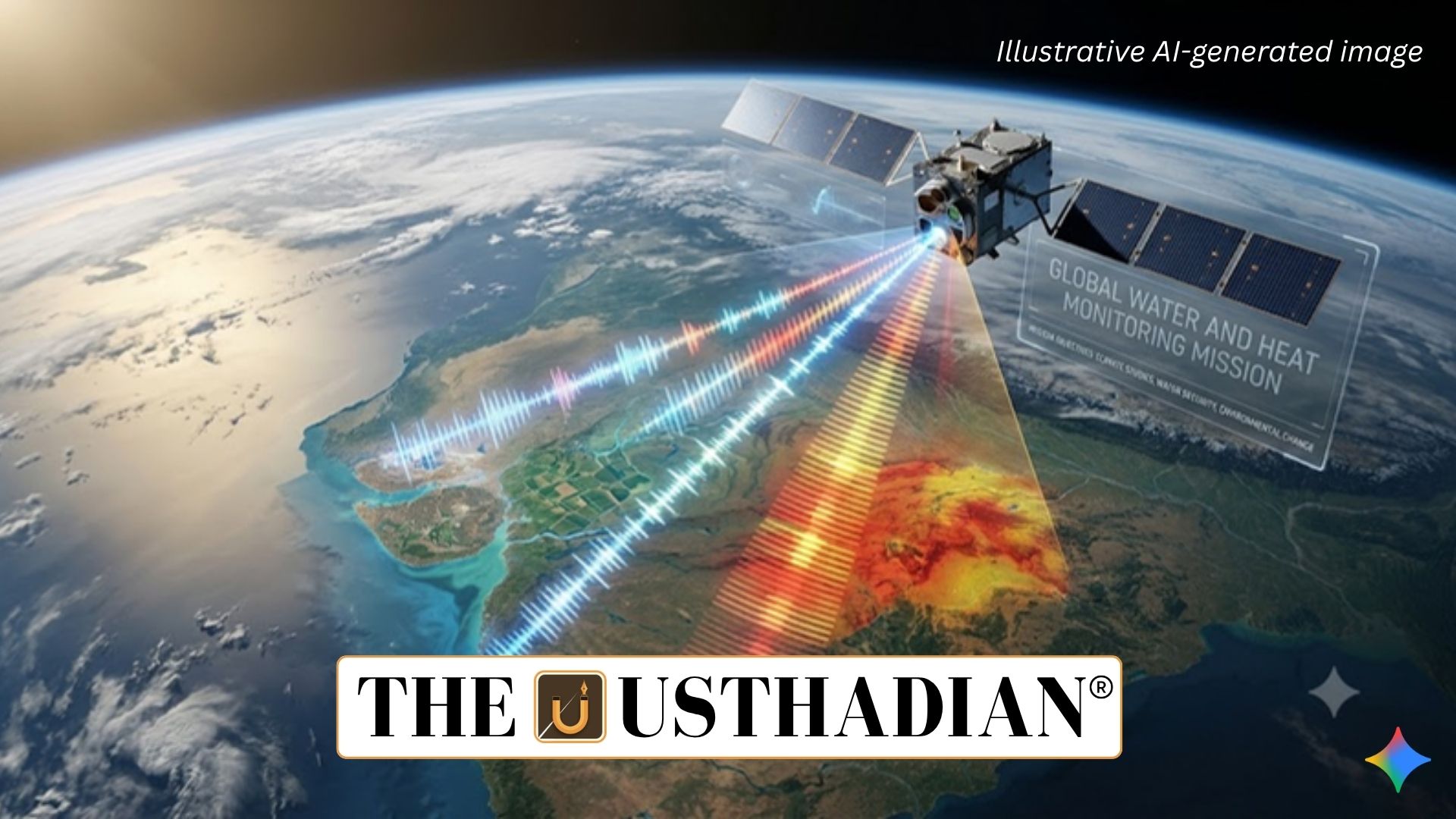
TRISHNA Mission 2027 to Monitor Earth’s Water and Heat: The Thermal Infra-Red Imaging Satellite for High-resolution Natural Resource Assessment (TRISHNA) is a joint Earth-observation mission being developed by the Indian Space Research Organisation (ISRO) and France’s National Centre for Space Studies (CNES).
The mission is designed to measure Earth’s surface temperature, vegetation health, evapotranspiration and water stress. Its observations are expected to support agricultural planning, water-resource management, climate research and urban environmental monitoring.
The satellite is planned for launch from Sriharikota, India, with a mission design life of five years, according to the supplied report.
Scientific and Environmental Objectives
TRISHNA will collect detailed observations to improve understanding of the energy and water budgets of land ecosystems.
Its major objectives include:
- Water Management: Monitoring terrestrial water stress and water use.
- Agriculture: Assessing crop health, vegetation conditions and irrigation requirements.
- Urban Climate: Identifying urban heat-island effects.
- Water Bodies: Studying inland and coastal water characteristics.
- Glaciers and Snow: Monitoring glacier dynamics and snowmelt runoff.
- Geological Activity: Detecting thermal anomalies in volcanic and geothermal areas.
- Atmospheric Studies: Supporting observations of aerosols, water vapour and clouds.
Static GK fact: Evapotranspiration combines evaporation from soil and water surfaces with transpiration from plants. It is an important indicator of crop-water requirements and ecosystem water use.
Two Main Scientific Instruments
TRISHNA will carry two principal instruments developed through India-France cooperation.
1. Thermal Infrared Instrument
The Thermal Infrared (TIR) instrument, provided by CNES with Airbus Defence and Space participating in its development, will measure thermal radiation emitted by Earth’s surface.
Its four thermal infrared channels will help determine surface temperature and emissivity, supporting the assessment of heat patterns and water stress.
2. Visible-Near Infrared-SWIR Instrument
The Visible-Near Infrared-Short-Wave Infrared (VNIR-SWIR) instrument, developed by ISRO, will observe Earth across seven spectral bands.
These observations will help measure surface reflectance, vegetation conditions and other biophysical characteristics. Combining both instruments will allow scientists to analyse surface temperature alongside vegetation and land-surface properties.
Orbit and Spatial Resolution
According to the supplied report, TRISHNA is planned to operate in a sun-synchronous orbit approximately 761 km above Earth.
| Feature | Planned specification |
| Orbit | Sun-synchronous |
| Altitude | Approximately 761 km |
| Land and coastal resolution | 57 metres |
| Ocean and polar resolution | 1 kilometre |
| Design life | 5 years |
| Local equator-crossing time | 12:30 noon |
Static GK Tip: A sun-synchronous orbit allows a satellite to pass over locations at approximately the same local solar time. Consistent illumination helps scientists compare observations collected on different dates.
Importance of the Mission
TRISHNA’s high-resolution thermal data could help identify crop-water stress, improve irrigation decisions, monitor urban heating and study glacier changes. Its observations may also contribute to international initiatives such as GEOGLAM, which supports agricultural monitoring, and efforts linked to the UN Sustainable Development Goals.
The mission is expected to support the development of Essential Agricultural Variables and Essential Climate Variables, strengthening evidence-based environmental management.
Conclusion
TRISHNA represents an important area of India-France space cooperation. By combining thermal infrared and optical observations, the mission aims to improve monitoring of land, water and climate systems and provide valuable information for sustainable resource management.
Static Usthadian Current Affairs Table
TRISHNA Mission 2027 to Monitor Earth’s Water and Heat:
| Fact | Detail |
| Mission name | TRISHNA |
| Full form | Thermal Infra-Red Imaging Satellite for High-resolution Natural Resource Assessment |
| Indian space agency | ISRO |
| French space agency | CNES |
| Main purpose | Monitoring surface temperature, water stress and vegetation |
| Thermal instrument | TIR, with four thermal infrared channels |
| Optical instrument | VNIR-SWIR, with seven spectral bands |
| Planned orbit | Sun-synchronous orbit |
| Planned altitude | Approximately 761 km |
| Design life | 5 years |
| Key applications | Agriculture, water management and climate research |