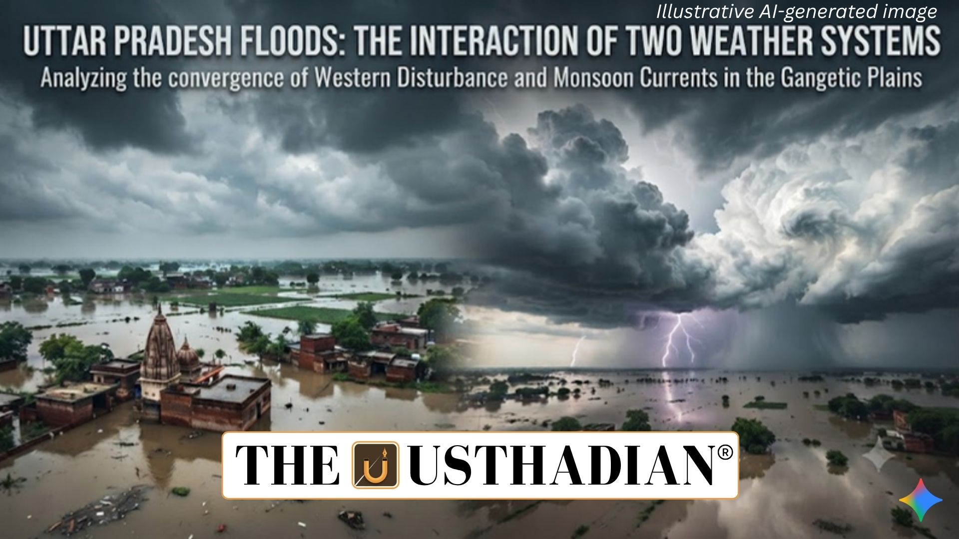
Uttar Pradesh Faces Intense Rainfall
Uttar Pradesh Floods and the Interaction of Two Weather Systems: Uttar Pradesh experienced a severe three-day spell of rainfall from September 25 to 27, 2026, resulting in flood-like conditions across several districts. According to the state Relief Commissioner’s office, 56 people died and 46 were injured in rain- and storm-related incidents, while 1,021 houses were damaged.
Heavy rainfall affected areas including Kanpur, Varanasi, Prayagraj, Gorakhpur and Bareilly. Strong winds of around 30–40 kmph uprooted trees and electricity poles and caused waterlogging in roads, villages and residential areas.
The state recorded 45.1 mm of rainfall in the 24 hours ending September 27, compared with a normal of only 1.8 mm for the period. As many as 56 of Uttar Pradesh’s 75 districts recorded excessive rainfall.
Bay of Bengal Depression
The India Meteorological Department (IMD) attributed the intense weather to the interaction of two weather systems.
The first was a deep depression that had developed over the Bay of Bengal before crossing the North Andhra Pradesh–South Odisha coast. It subsequently moved towards central and northern India and was positioned over northeastern Madhya Pradesh and adjoining southeastern Uttar Pradesh.
Static GK fact: A depression is a relatively organised low-pressure system associated with stronger winds and significant rainfall. As it weakens into a well-marked low-pressure area, its wind intensity generally decreases.
By 5:30 am on September 27, the system had moved north-northwestwards and weakened into a well-marked low-pressure area. It was expected to continue moving across Uttar Pradesh while gradually losing strength.
Western Disturbance From the West
The second system was a Western Disturbance (WD). Unlike the Bay of Bengal system, a WD is an extra-tropical weather system that generally moves eastward towards the Indian subcontinent.
Western Disturbances originate in the broader Mediterranean–West Asian region and are carried towards northern India by the subtropical westerly jet stream. They can bring cloudiness, rainfall, thunderstorms and snowfall to parts of northern India.
Static GK Tip: The subtropical westerly jet stream is a high-altitude, fast-moving air current that plays an important role in transporting Western Disturbances towards the Indian subcontinent.
Why the Two Systems Produced Heavy Rain
The unusual rainfall resulted from the interaction between the Bay of Bengal depression and the Western Disturbance.
The depression supplied a tropical, moisture-rich weather system from the east, while the Western Disturbance approached from the west. Their interaction increased atmospheric instability and supported strong upward motion, cloud formation and intense rainfall over parts of Uttar Pradesh.
The IMD also warned of heavy to very heavy rainfall, with isolated extremely heavy rainfall possible in the central Terai region. One or two locations could potentially receive rainfall exceeding 30 cm.
Interaction During Monsoon Withdrawal
The event occurred during the withdrawal phase of the southwest monsoon from northern and northwestern India.
This transition period can involve changing wind patterns and the interaction of different atmospheric systems. In this case, the convergence of a tropical depression with an extra-tropical disturbance contributed to a highly concentrated spell of rainfall.
The episode demonstrates how extreme rainfall over India can result not only from a single weather system but also from the interaction of multiple systems originating in different regions.
Flood and Agricultural Impact
The intense rainfall inundated roads, settlements and villages while damaging crops in several districts. Strong winds added to the impact by damaging trees and electricity infrastructure.
Such events can create significant challenges for flood management, agriculture, transportation and disaster response, particularly when rainfall occurs over a short period.
Understanding the movement and interaction of weather systems is therefore important for improving early warning, flood preparedness and agricultural planning.
Static Usthadian Current Affairs Table
Uttar Pradesh Floods and the Interaction of Two Weather Systems:
| Fact | Detail |
| Affected State | Uttar Pradesh |
| Major Weather Period | September 25–27, 2026 |
| Deaths Reported | 56 |
| Injured | 46 |
| Houses Damaged | 1,021 |
| Rainfall in 24 Hours | 45.1 mm |
| Normal Rainfall | 1.8 mm |
| Districts With Excessive Rainfall | 56 of 75 |
| First Weather System | Deep depression from the Bay of Bengal |
| Second Weather System | Western Disturbance |
| Depression Location | Northeastern Madhya Pradesh and adjoining southeastern Uttar Pradesh |
| WD Nature | Extra-tropical, east-moving weather system |
| Major Moisture Source | Mediterranean and West Asian region, along with associated seas |
| Jet Stream | Subtropical westerly jet stream |
| Maximum Rainfall Warning | Over 30 cm at isolated locations |
| Important Seasonal Phase | Southwest monsoon withdrawal |
| Key Cause | Interaction of tropical depression and Western Disturbance |