Understanding Geospatial Technology
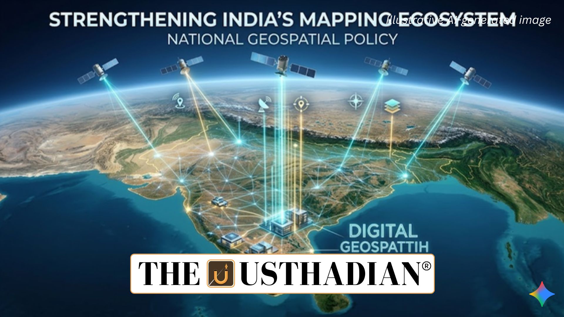
National Geospatial Policy Strengthening India’s Mapping Ecosystem: Geospatial technology refers to modern digital tools used to collect, analyze, and visualize information related to the Earth’s surface and geographic locations. It integrates spatial data with advanced mapping systems to support decision-making in governance, infrastructure planning, agriculture, disaster management, and urban development.
This technology works through tools such as Remote Sensing, Geographic Information Systems (GIS), Global Positioning System (GPS), and LiDAR (Light Detection and Ranging). These systems gather satellite-based or sensor-based data to create highly detailed maps and spatial datasets.
Static GK fact: GIS technology became globally popular in the late 20th century, enabling governments to manage land resources, transportation networks, and environmental monitoring with digital mapping systems.
Vision of National Geospatial Policy 2022
The National Geospatial Policy 2022 aims to transform India into a global leader in the geospatial sector. It promotes open access to spatial data and encourages private sector participation in mapping, analytics, and location-based services.
The policy emphasizes the democratization of geospatial data, allowing government agencies, private firms, researchers, and start-ups to access mapping information with fewer restrictions. This approach supports innovation in sectors such as smart cities, logistics, climate monitoring, and infrastructure development.
Key Development Targets
A major objective of the policy is to create a high-resolution topographical survey and mapping system across India. By 2030, the country aims to develop a Digital Elevation Model (DEM) covering the entire territory to provide accurate terrain data for planning and disaster mitigation.
Another goal is the creation of Geospatial Knowledge Infrastructure (GKI) supported by an Integrated Data and Information Framework. This digital ecosystem will allow different government departments and stakeholders to access standardized geospatial datasets efficiently.
The policy also targets the generation of high-resolution bathymetric data for inland waters and deep-sea regions. By 2035, India plans to develop a National Digital Twin for major urban centres, enabling digital simulation of city infrastructure for planning and management.
Static GK Tip: Bathymetry refers to the scientific measurement of underwater depth and topography of oceans, lakes, and rivers.
Institutional and Data Infrastructure
To guide the ecosystem, the policy establishes the Geospatial Data Promotion and Development Committee (GDPDC) as the apex national body responsible for coordination and policy implementation.
The policy also mandates the creation of two major digital platforms. The National Geospatial Data Registry (NGDR) will function as a central repository for geospatial datasets, while the Unified Geospatial Interface (UGI) will enable seamless sharing and integration of spatial data across platforms.
These systems aim to standardize geospatial datasets and support innovation by ensuring easier access to location-based information.
Government Initiatives Supporting Geospatial Growth
Several initiatives have been introduced to strengthen the geospatial ecosystem in India. The National Geospatial Mission (NGM) launched during 2025-26 focuses on building foundational geospatial infrastructure and improving spatial datasets.
Another initiative is Operation Dronagiri, a pilot project demonstrating practical applications of geospatial technologies in governance and infrastructure management.
The Continuously Operating Reference Stations (CORS) Network, developed by the Survey of India, provides highly accurate positioning data essential for mapping and surveying.
Institutions like BISAG-N (Bhaskaracharya National Institute for Space Applications and Geo-informatics) also play a crucial role in implementing GIS-based solutions for government projects and development planning.
Static GK fact: The Survey of India, established in 1767, is the oldest scientific department of the Government of India and is responsible for national surveying and mapping.
Static Usthadian Current Affairs Table
National Geospatial Policy Strengthening India’s Mapping Ecosystem:
| Topic | Detail |
| Policy | National Geospatial Policy 2022 |
| Objective | Make India a global leader in geospatial technology |
| Key Target | Digital Elevation Model for entire India by 2030 |
| Institutional Body | Geospatial Data Promotion and Development Committee |
| Data Infrastructure | National Geospatial Data Registry and Unified Geospatial Interface |
| Major Initiative | National Geospatial Mission 2025-26 |
| Pilot Project | Operation Dronagiri |
| Key Mapping Network | Continuously Operating Reference Stations |
| Supporting Institution | Bhaskaracharya National Institute for Space Applications and Geo-informatics |