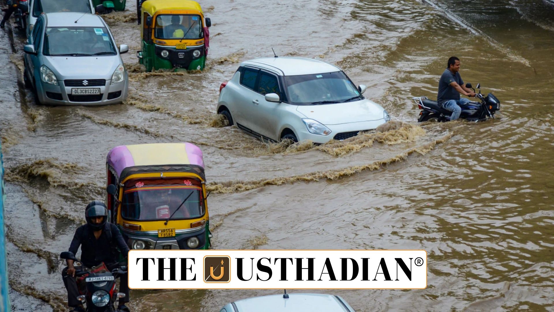
Rapid urbanisation outpaces infrastructure
Gurgaon’s Monsoon Flood Crisis: Gurgaon, now officially Gurugram, receives only about 600 mm of annual rainfall, yet experiences severe flooding during the monsoon season. In contrast, Kochi receives over 3,000 mm of rain with fewer flood incidents. This disparity reveals deep flaws in Gurgaon’s infrastructure planning and land use.
The city’s transformation from a rural town to an industrial hub began in the 1980s with Maruti’s factory in Manesar. Post-1990 liberalisation, Gurgaon saw explosive growth. However, infrastructure—especially stormwater drainage—did not keep pace.
Disregard for natural topography
Gurgaon sits south of the Najafgarh Jheel with the Aravalli ridge forming a natural barrier to the south. Historically, water drained northwards through east-west natural channels, efficiently moving runoff.
Today, these natural routes have been erased by urban projects, notably roads like Golf Course Road, which run north-south—blocking water’s natural flow and intensifying flooding in urban pockets.
Static GK fact: Najafgarh Jheel is a seasonal lake that plays a key role in Delhi-NCR’s flood control ecosystem.
Fragmented growth and poor planning
Development in Gurgaon followed a piecemeal model, with private developers acquiring land from different villages. While HUDA (Haryana Urban Development Authority) was the nodal body, it failed to maintain a unified master plan.
Roads were constructed with irregular gradients, and sectors were built without integration, creating fragmented and flood-prone zones.
Disappearing natural drains
Once rich in natural canals, Gurgaon has lost more than 90% of its original drainage routes. From around 60 traditional canals, fewer than four remain. Agricultural land and mustard fields have been replaced by concrete infrastructure, eliminating natural water absorption.
With most surfaces now impervious, runoff volumes have drastically increased, overwhelming the limited drainage systems.
Static GK Tip: India’s urban waterlogging problem is often due to reduced soil percolation, worsened by rapid concretisation and encroachments on wetlands.
Engineering codes neglect nature
India’s construction norms emphasize concrete and steel over natural materials. Designs fail to account for topography, leading to drainage networks that do not align with local hydrology. This has resulted in roads turning into rivers during even moderate rainfall.
Smart, simple solutions
Flood control doesn’t require massive investment alone. Waterlogged green spaces can be converted into groundwater recharge pits. Soft drains and French drains under pavements can help water seep naturally.
Re-aligning roads with natural slopes, and adding swales and gentle channels, would redirect excess water effectively.
Static GK Tip: French drains are gravel-filled trenches with perforated pipes used worldwide for efficient stormwater management.
Static Usthadian Current Affairs Table
Gurgaon’s Monsoon Flood Crisis:
| Topic | Detail |
| Annual Rainfall in Gurgaon | Around 600 mm |
| Kochi’s Annual Rainfall | Over 3,000 mm |
| Natural Drainage Path | From Aravalli ridge to Najafgarh Jheel |
| Major Industrial Boost | Maruti factory in Manesar (1980) |
| Key Urban Planner | Haryana Urban Development Authority (HUDA) |
| Lost Natural Canals | From ~60 to less than 4 |
| Cause of Flooding | Blocked natural runoff, excessive concretisation |
| Example of Failed Road Planning | Golf Course Road blocks natural water flow |
| French Drain | A trench-based water drainage system |
| Major Static Feature | Aravalli ridge and Najafgarh Jheel system |


