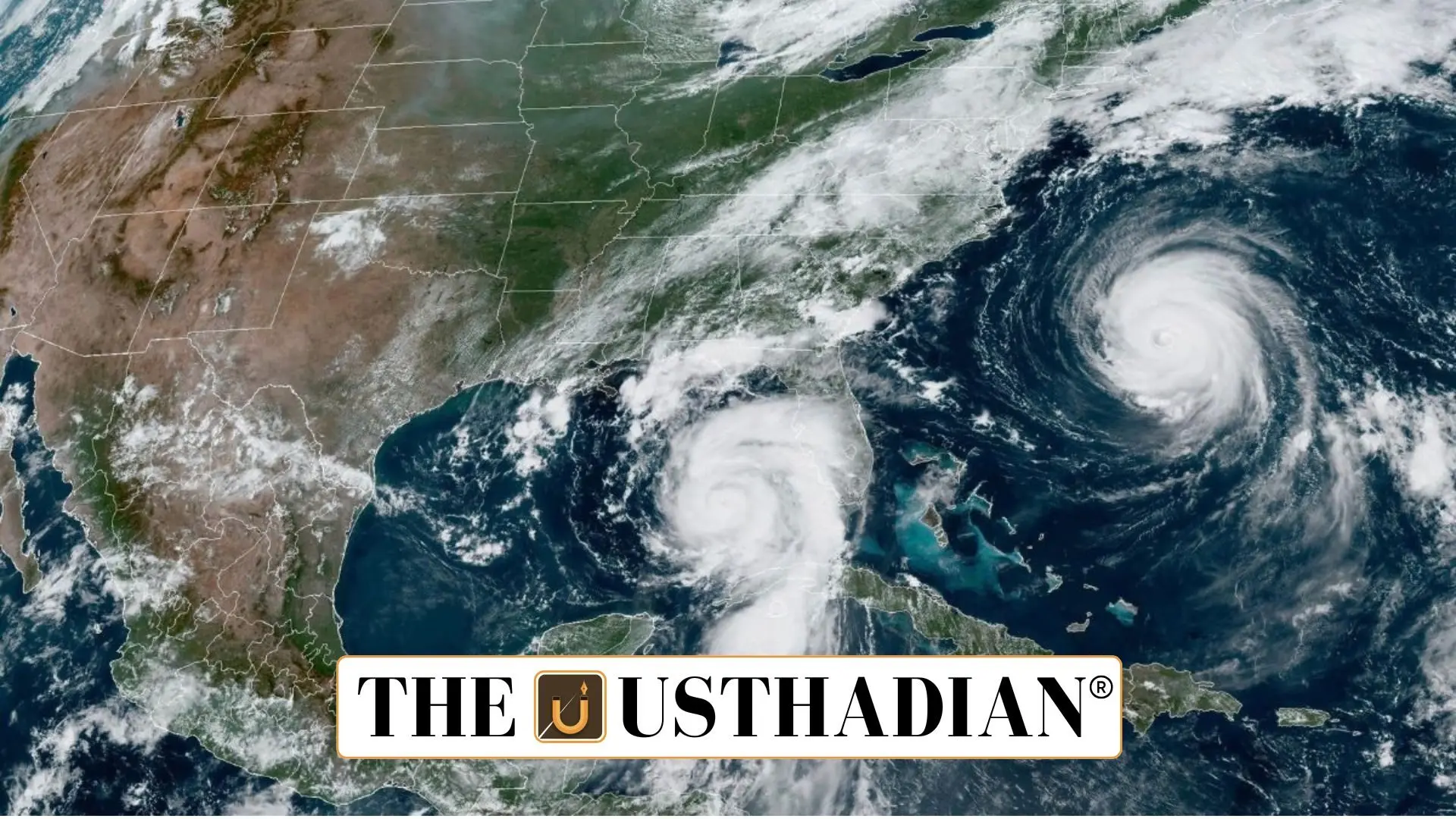
Rare Triple Cyclone Event Unfolds in the Pacific
Triple Cyclone Event in South Pacific Stuns Meteorologistsz; In a remarkable meteorological development, three tropical cyclones—Rae, Seru, and Alfred—have formed simultaneously in the South Pacific Ocean, just off the eastern coast of Australia. This rare event, captured by recent satellite imagery, is unfolding at the peak of the cyclone season, raising concerns about weather unpredictability and the growing complexity of global climate systems.
Cyclone Status and Impact
Cyclone Alfred, the most intense of the three, has swiftly escalated into a Category 3 storm, with wind gusts reaching 185 km/h. It remains offshore for now. Cyclone Rae has already left its mark in Fiji, damaging fruit crops and causing heavy rainfall. Meanwhile, Cyclone Seru is forecast to pass near Vanuatu, but meteorologists expect it to stay offshore, thus limiting its immediate threat.
Historical Precedent and Climate Signals
Though rare, the formation of three cyclones simultaneously isn’t without precedent. A similar occurrence happened in January 2021, involving cyclones Lucas, Ana, and Bina. These events underline the increasing variability of cyclone activity in the Pacific, influenced by both natural phenomena and broader climate trends.
Climate Change: A Driver of Cyclone Intensity
The climate crisis is playing a pivotal role in reshaping the behavior of tropical storms. In 2024, the world recorded its highest-ever ocean temperatures, a key factor in cyclone formation. While global warming doesn’t necessarily increase the number of cyclones, it does lead to more intense storms, especially Category 3 and above. Scientists have also observed that storms are slowing down as they move over land, leading to greater destruction and prolonged rainfall.
La Niña vs. Madden-Julian Oscillation
Interestingly, this cyclone cluster has formed during a La Niña phase, which typically suppresses cyclone activity by cooling ocean waters. Experts had anticipated fewer storms this year. However, the Madden-Julian Oscillation (MJO)—a travelling pulse of enhanced rainfall and rising air—is currently active and may be amplifying cyclone formation in the region. The MJO can influence weather on a 30–60-day cycle, overriding La Niña’s cooling effect in the short term.
Forecasting Complexities in a Warming World
The simultaneous appearance of three cyclones highlights the challenges faced by meteorologists. Despite advances in satellite technology and atmospheric modeling, the atmosphere remains highly chaotic. Many interacting systems—some poorly understood—can lead to unpredictable weather outcomes. As such, ongoing research into climate dynamics is essential to improve future forecasting accuracy.
Static GK Snapshot
| Topic | Fact |
| Cyclones Active (Feb 2025) | Rae, Seru, Alfred |
| Most Intense Cyclone | Alfred – Category 3, 185 km/h winds |
| Affected Country | Fiji (by Cyclone Rae) |
| Forecasted Path | Cyclone Seru to pass near Vanuatu |
| Last Similar Event | January 2021 – Cyclones Lucas, Ana, Bina |
| Climate Pattern in 2025 | La Niña (cooling effect, but contradicted) |
| Amplifying Factor | Madden-Julian Oscillation (MJO) |
| Record Ocean Temperatures | Year 2024 – highest on record |
| Key Climate Concern | Increase in high-intensity, slow-moving storms |


