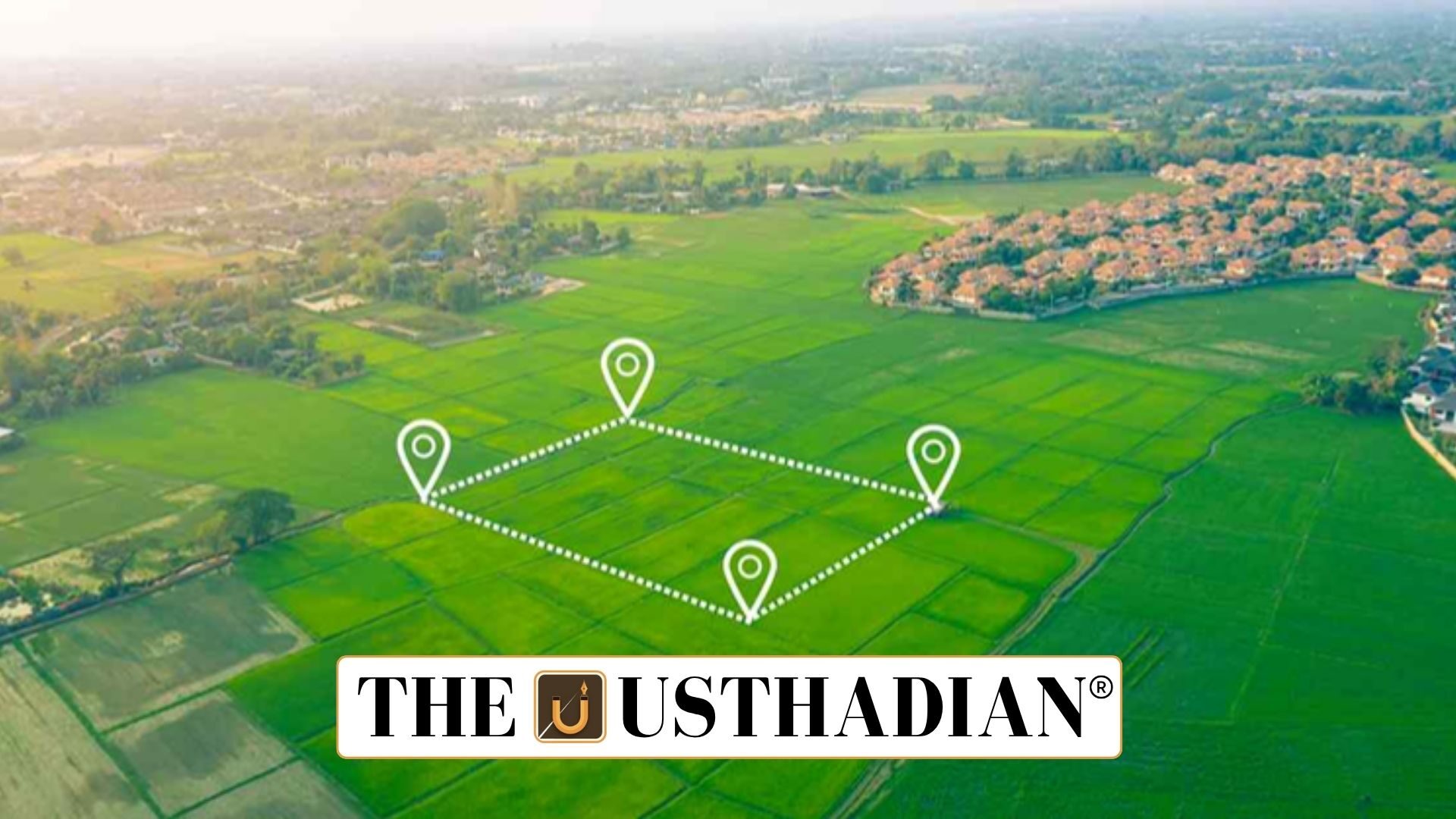
Urban land records get a digital makeover
NAKSHA Urban Land Survey Reform Begins Second Phase: The NAKSHA programme is India’s bold step toward reshaping how we handle land records in our cities. As more people move to urban areas, the demand for accurate and updated land data becomes urgent. To meet this need, the government has introduced this tech-driven solution, which uses advanced geospatial tools for precise mapping.
The second phase of training under this initiative is all set to begin on 2nd June 2025. This follows the success of the first phase, where 160 master trainers were trained. Now, 304 officers from 157 Urban Local Bodies (ULBs) will undergo skill development to support the next rollout.
What NAKSHA means?
NAKSHA stands for National Geospatial Knowledge-based Land Survey of Urban Habitations. It isn’t just about mapping land. It’s about making urban governance smarter, smoother, and more citizen-friendly.
With India’s urban population expected to cross 600 million by 2031, land disputes, ownership confusion, and planning challenges are inevitable. Programmes like NAKSHA act as a preventive tool against such issues.
Main goals of the programme
The government has designed NAKSHA with several clear purposes:
- Modernise urban land records to make them more accurate and easier to access
- Support smart city planning with real-time, data-driven decisions
- Minimise land disputes by clearly documenting ownership and boundaries
- Ensure transparency through a Web-GIS-based digital system
- Promote sustainable urban development using data and maps
How officers are being trained?
Training is a key part of NAKSHA’s success. Officers are being trained at five elite Centres of Excellence (CoEs):
- LBSNAA, Mussoorie
- Yashada, Pune
- Northeast Region CoE, Guwahati
- Mahatma Gandhi Institute, Chandigarh
- Punjab Training Institute, Mysuru
These centres focus on real-world applications. From GNSS and ETS-based surveys to legal procedures around land records, officers are equipped with hands-on knowledge.
Tech behind NAKSHA
This programme isn’t just paperwork—it’s powered by cutting-edge tools:
- Drone mapping ensures aerial views are precise and up-to-date
- A Web-GIS platform keeps all data integrated and easy to use
- Public access to digital land records helps reduce corruption and speeds up services
Citizens can check land details online, without standing in queues or chasing officials.
Who’s behind it and how it’s funded?
NAKSHA is being run by the Department of Land Resources, in collaboration with the Survey of India and NICSI. The entire project is centrally funded, with a budget of around ₹194 crore.
In its pilot phase, the programme has already kicked off in 152 ULBs across 26 states and 3 Union Territories.
Static Usthadian Current Affairs Table
NAKSHA Urban Land Survey Reform Begins Second Phase:
| Element | Details |
| Full Form of NAKSHA | National Geospatial Knowledge-based Land Survey of Urban Habitations |
| Launch Year | 2025 (Phase 2 from June 2) |
| Main Technology Used | Drones, Web-GIS, GNSS, ETS |
| Administering Body | Department of Land Resources |
| Training Institutes | LBSNAA Mussoorie, Yashada Pune, etc. |
| States and UTs Covered | 26 States and 3 UTs (pilot) |
| Budget | ₹194 crore |
| Population Target | 600 million urban residents by 2031 |
| Accessibility Feature | Public access to digital land records |
| Historical Static Fact | The Survey of India, founded in 1767, is India’s oldest scientific department |


