Introduction to C-FLOOD
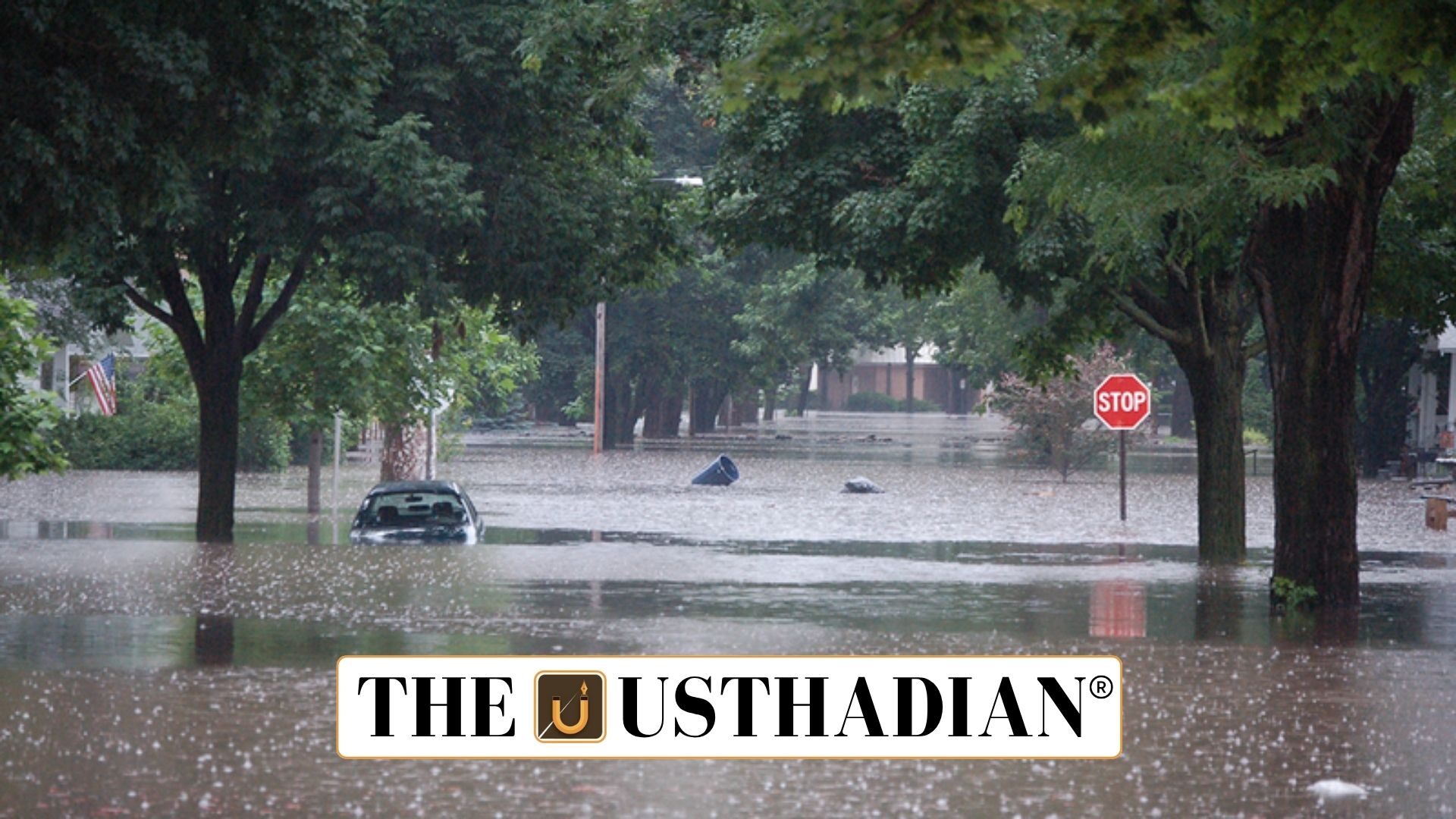
C-FLOOD Unified Forecasting System for Flood Management: C-FLOOD is an advanced flood forecasting system launched by the Union Minister of Jal Shakti to enhance India’s disaster readiness. This integrated web-based platform provides two-day advance flood warnings with high spatial resolution, even at the village level. The system is tailored to assist disaster response agencies in making informed decisions.
It consolidates flood prediction data from both national and regional sources, delivering a unified forecasting solution across multiple administrative levels.
Agencies Involved in Development
This initiative is the outcome of collaboration between:
- Centre for Development of Advanced Computing (C-DAC), Pune
- Central Water Commission (CWC), responsible for India’s flood forecasting
- Department of Water Resources, River Development & Ganga Rejuvenation
- National Remote Sensing Centre (NRSC)
The system is developed under the framework of the National Supercomputing Mission (NSM).
Static GK fact: The NSM, launched in 2015, is a collaborative effort of MeitY and the Department of Science and Technology (DST) to boost India’s supercomputing capabilities.
Key Features of the System
C-FLOOD incorporates 2D hydrodynamic flood modelling, enabling it to simulate realistic flood situations and offer timely flood inundation maps and water level projections. These forecasts support local authorities in managing emergencies and reducing risks.
Initially, the system covers the Mahanadi, Godavari, and Tapi river basins. Plans are in place to scale the platform to all river basins nationwide.
Static GK fact: Around 12% of India’s land—over 40 million hectares out of 329 million hectares—is vulnerable to flooding.
Integration with Emergency Networks
C-FLOOD is designed to feed data into the National Disaster Management Emergency Response Portal (NDEM), ensuring real-time access to forecasts for disaster management teams.
Static GK Tip: The NDEM is a centralised portal operated under the National Disaster Management Authority (NDMA), which plays a key role in India’s disaster preparedness strategy.
National Significance
With increasing instances of extreme weather and flood-related disasters, tools like C-FLOOD become vital for protecting lives, infrastructure, and agriculture. The system is part of India’s broader push towards tech-driven disaster resilience and proactive risk management.
It marks a significant advancement in the use of supercomputing and remote sensing technologies for public safety, reinforcing the country’s capacity to mitigate the impact of natural disasters.
Static Usthadian Current Affairs Table
C-FLOOD Unified Forecasting System for Flood Management:
| Topic | Detail |
| Full form of C-FLOOD | Comprehensive Flood Forecasting System |
| Developed by | C-DAC Pune, CWC, NRSC, Ministry of Jal Shakti |
| Purpose | Unified flood forecast system for advance alerts |
| Forecast Range | 2 days in advance, village-level accuracy |
| Technology Used | 2D hydrodynamic modelling |
| Present Coverage | Mahanadi, Godavari, Tapi river basins |
| Expansion Plan | All Indian river basins in future |
| NSM Launch Year | 2015 |
| NSM Implementing Ministries | MeitY and DST |
| Integration Platform | National Disaster Management Emergency Response Portal (NDEM) |